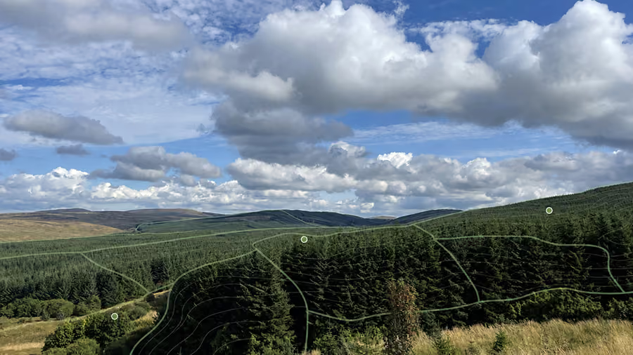
GIS Mapping for Woodland Management and Operations
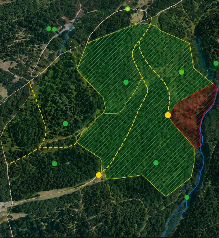
We produce maps for management plans, grants, felling and planting proposals, reports and consultation. Operational maps can show work areas, exclusions, routes, stacking points, water features and survey observations, giving managers and site teams a shared view of the job.

GIS Services: Scope, Standards and Limitations
Our Services Include:
- Site, estate, client-supplied boundary and compartment mapping
- Constraints and opportunities mapping
- Habitat, species, land-use and woodland inventory mapping
- Felling, restocking and woodland creation plans
- Access, infrastructure and operational work maps
- Grant, licence, consultation and report figures
- Environmental and statutory constraint searches
- Aerial imagery, terrain and topographic analysis
- Spatial data cleaning, digitising and record management
- Export for PDF, print, mobile and common GIS workflows

GIS & Mapping Services
Frequently Asked Questions
What is forestry GIS mapping?
It uses digital spatial data to record, analyse and present woodland information. Boundaries, compartments, crops, habitats, access, terrain, constraints and proposed operations can all be managed within one consistent mapping system.
What information do you need to start a mapping project?
We normally ask for the property or project boundary, any existing plans, management records, survey information and the intended use of the map. We review what is available, identify gaps and agree which details need checking on site.
How accurate are forestry maps?
Accuracy depends on the source data, survey method, scale and purpose of the map. We record sources and limitations and use field checks where needed. Standard GIS plans should not be treated as legal boundary surveys.
Can you produce maps for grants and felling licences?
Yes. We prepare woodland, felling, restocking, creation and constraint plans for forestry applications. The scale, layout, legend and supporting information are matched to the current requirements of the relevant scheme or authority.
Does aerial imagery replace a site survey?
No. Aerial and terrain data are valuable during initial assessment and design, but they may be out of date or unable to show features beneath the canopy. Important boundaries, hazards, habitats and operational details still need checking on site.
Which file formats can you supply?
Outputs can include print-ready PDF maps, high-resolution images and common spatial data formats for GIS or field systems. We agree the coordinate system, scale, data fields and handover requirements before producing the final files.

Let's Talk!
Email Us
Call Us


